


.jpg "Hai Duong city’s Ring Road I to link regions and expand urban development space")
.jpg "Construction of additional route connecting Kinh Mon town and Thuy Nguyen city to start before July")
Gửi bình luận
A high-speed road connecting the east and west of Hai Phong city is expected to become the shortest route between the two regions while also expanding the city’s urban space.
Urgent demand
Following Hai Phong city’s administrative merger with Hai Duong province, travel demand has surged, especially among officials, civil servants, and workers commuting from the west to the east of Hai Phong. At present, connections between the two regions mainly rely on National Highways 5 and 17B, and the Ha Noi – Hai Phong expressway.
However, Ha Noi – Hai Phong expressway is relatively long and costly for transport, while National Highway 5 is heavily congested with container trucks and cargo vehicles, 5 - 6 times beyond its designed capacity, leading to frequent traffic jams and complicated accident risks.
.jpg)
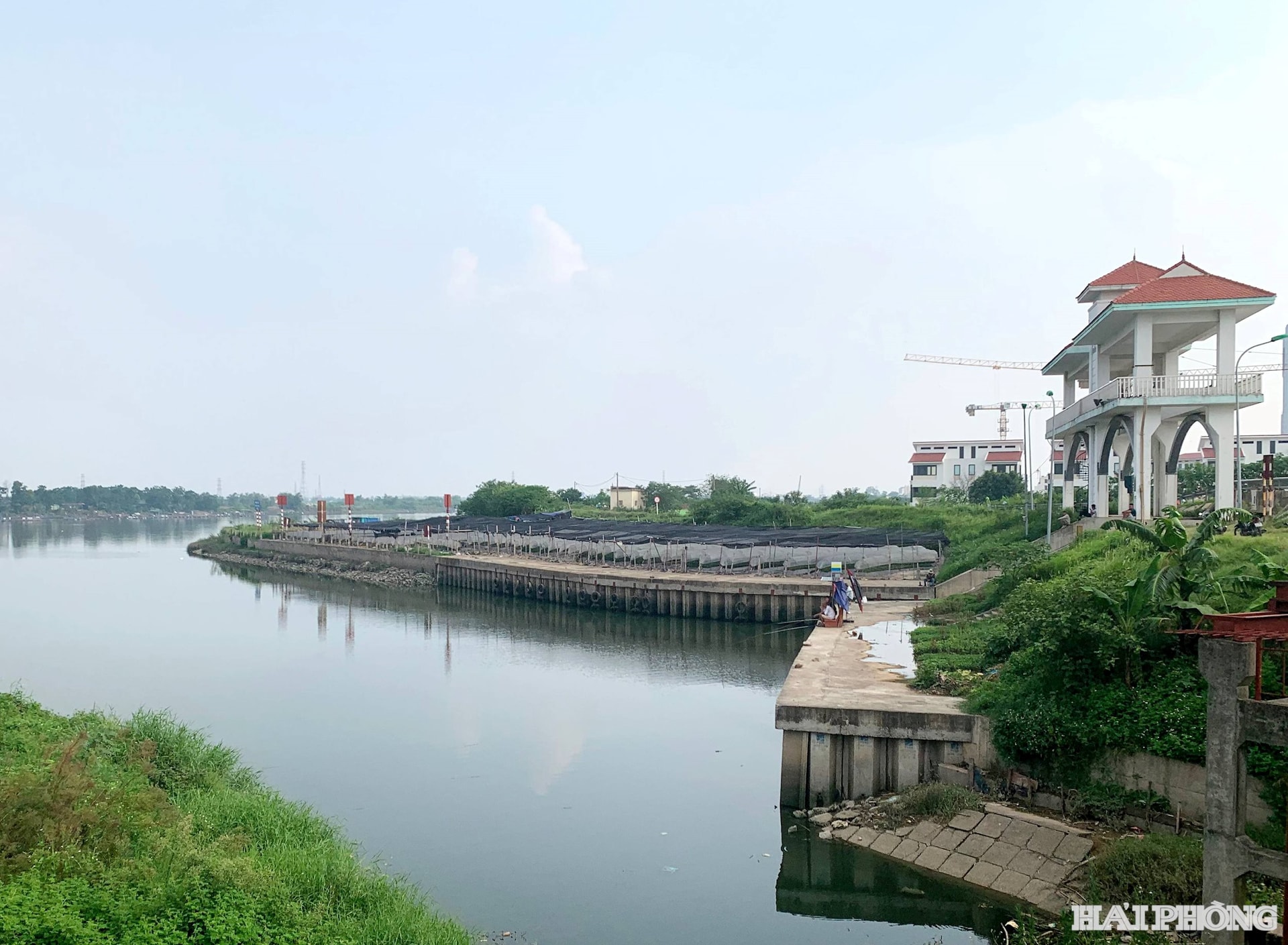
To avoid National Highway 5, some drivers use alternative routes like Provincial Road 390 across Quang Thanh bridge leading to Provincial Road 360, or via Dinh bridge to Provincial Road 352 towards the city’s Political-Administrative Center. Yet, the network there remains inadequate, with narrow sections running through densely populated areas, making travel inconvenient.
With growing demand for travel between the east’s and west’s cores, there is now an urgent requirement for a new transport corridor that is shortest and fastest. Beyond improving mobility, such a route will expand urban development, strengthen regional connectivity, and promote balanced economic growth.
Driving Hai Phong toward its vision and aspirations
.jpg)
According to the city Department of Construction, after research and surveying, the department has proposed to the city People’s Committee a plan to build a high-speed road connecting east and west Hai Phong (linking National Highway 10 with Ring Road I in the former Hai Duong city). The route would be 23.5 km long, with a roadbed width of 68 m.
Its starting point would be the junction of Ring Road 1 and the approach to Bui Thi Xuan bridge, heading east to connect with Provincial Road 390. The route would end at the current junction of National Highway 10 and Nguyen Truong To street, adjacent to An Duong industrial park.
The total investment is estimated at 19.129 trillion VND, including 4.537 trillion VND for site clearance.
During a recent field survey and briefing, Standing Vice Chairman of the city People’s Committee Le Anh Quan emphasized that the project is essential and has been listed by the city Party Committee, People’s Council, and People’s Committee as a priority project for the 2026–2030 period.
It is not merely a transport project but also carries political and cultural significance, enhancing regional connectivity and expanding the city’s urban space after the merger. The city is committed to developing the road as a modern high-speed urban axis aligned with long-term vision.
The planned route will start from Provincial Road 390, crossing the Huong river (bypassing the dense core of the former Thanh Ha township to tap new land potential), intersect Provincial Road 390B and its bypass under construction, then connect with the planned Provincial Road 388 (linking National Highway 18 with the Ha Noi – Hai Phong expressway). It will also cross the Rang river (via Kim Thanh 2 industrial park – phase 1), the East-West trunk-road, the Co Bong river, and National Highway 17B before linking with a section adjacent to An Duong industrial park.
PHAM CUONG