


Gửi bình luận
Hai Phong remains on track with its land database review, with 99% of land parcels in the city's database meeting the required "accurate, complete, clean and up-to-date" standard as of 7 p.m. on June 28, 2026.

On March 29, 2026, the Ministry of Agriculture and Environment and the Ministry of Public Security issued Plan No. 2959/KH-BNNMT-BCA to accelerate cadastral surveying and mapping, land registration, the compilation of cadastral records, and completion of the national land database.
Under the plan, by the end of June 2026, land parcels already included in the database were to be verified, updated and standardized to meet the "accurate, complete, clean and up-to-date" standard. The process also required the completion and standardization of spatial data, attribute data and unstructured data, including scanned records.
Hai Phong has more than 4 million land parcels. As of March 2026, data had been created for 1.28 million parcels. However, only 277,200 parcels, or more than 21.6% of those with existing records, met the required "accurate, complete, clean and up-to-date" standard.
Under Plan No. 2959, the city was required to review and standardize data for more than 1.08 million land parcels between April and the end of June 2026.
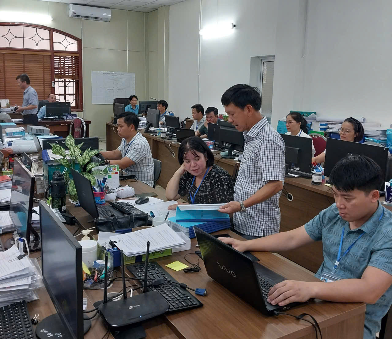
The Department of Agriculture and Environment, through the city's Land Registration Office system, mobilized resources and implemented a range of measures to review and standardize the data. As a result, 1,172,018 land parcels now meet the required "accurate, complete, clean and up-to-date" standard, accounting for 99% of all parcels with records in the database.
Once the land database is standardized and integrated with other national databases, it is expected to become an effective tool for improving transparency in the real estate market. It will also enable faster, more convenient and more transparent administrative procedures for citizens, including the issuance of land use right certificates, property transfers, mortgages and inheritance procedures.
Hai Phong News