

Heavy rain to persist in Hai Phong, raising flood and thunderstorm risks
Moderate to heavy rain, with isolated downpours and thunderstorms, is forecast to occur across Hai Phong on August 6 and 7.
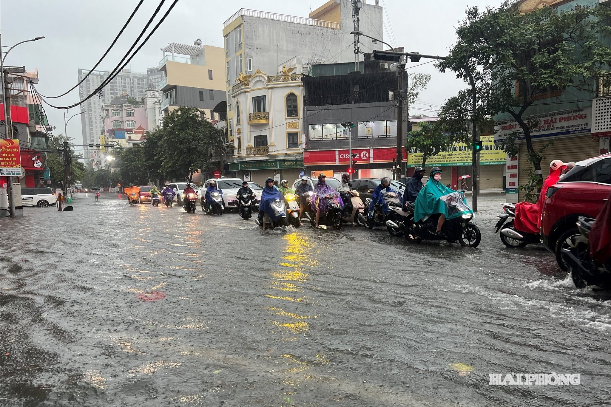
According to the Hai Phong Hydrometeorological Station, a low-pressure trough stretching across northern Vietnam, combined with strengthening upper-level wind convergence, will bring moderate to heavy rain, with isolated downpours and thunderstorms, to the city on August 6 and 7.
Total rainfall is forecast to range from 50 to 100 mm, with some areas receiving more than 120 mm.
Specifically, rainfall is predicted to range between 60 and 100 mm in Le Chan, Thuy Nguyen, Kien An, Tien Lang, Vinh Bao, Hai An, Duong Kinh, An Duong, and Do Son, while Cat Hai, Chi Linh, and several northern parts of the city are forecast to receive 50 to 80 mm.
Thunderstorms may be accompanied by whirlwinds, lightning, and strong wind gusts.
The city Hydrometeorological Station warned that heavy rainfall could cause localized flooding in residential and urban areas, overwhelm drainage systems, disrupt traffic, and reduce visibility.
Thunderstorms, whirlwinds, lightning, and strong winds may also uproot trees and damage infrastructure, while prolonged rainfall could affect agricultural production and marine activities. The heavy rain has been assigned a Level 1 natural disaster risk warning.
Rainfall is expected to ease from the night of August 7, with only scattered showers and thunderstorms remaining, including isolated moderate rain.
Hai Phong News