High tide warning poses risk of flooding in low-lying coastal areas of Hai Phong
High tides may cause localized flooding in low-lying coastal areas of Hai Phong on November 10, according to the city Hydrometeorological Station.
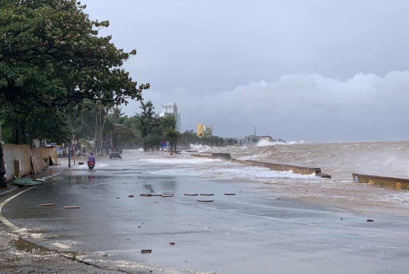
The Hai Phong Hydrometeorological Station’s forecast issued on the afternoon of November 9 reported that the highest water level at Hon Dau station reached 405 cm at 6:30 am of the day.
Due to the impact of high tides, water levels in Hai Phong’s coastal areas are predicted to fluctuate between 400 – 410 cm early on November 10, with Hon Dau station reaching around 410 cm at 7:30 am and Bach Long Vi station around 400 cm at 6:50 am.
High tides may cause localized flooding in low-lying coastal areas and river mouths such as Bach Dang, Lach Tray, Cam, Moi, and Thai Binh, with water depths of 0.3 – 0.5 m.
Hai Phong’s sea area is forecast to remain affected by high tides over the next 1 – 2 days. The natural disaster risk level is set at level 1.
Residents are advised to proactively prevent flooding, protect crops and aquaculture areas, and exercise caution when traveling in low-lying areas.
Hai Phong News