Hai Phong launches two new agricultural technologies
The Hai Phong Department of Science and Technology has introduced virtual reality technology in farming and a geographic information system in aquaculture.
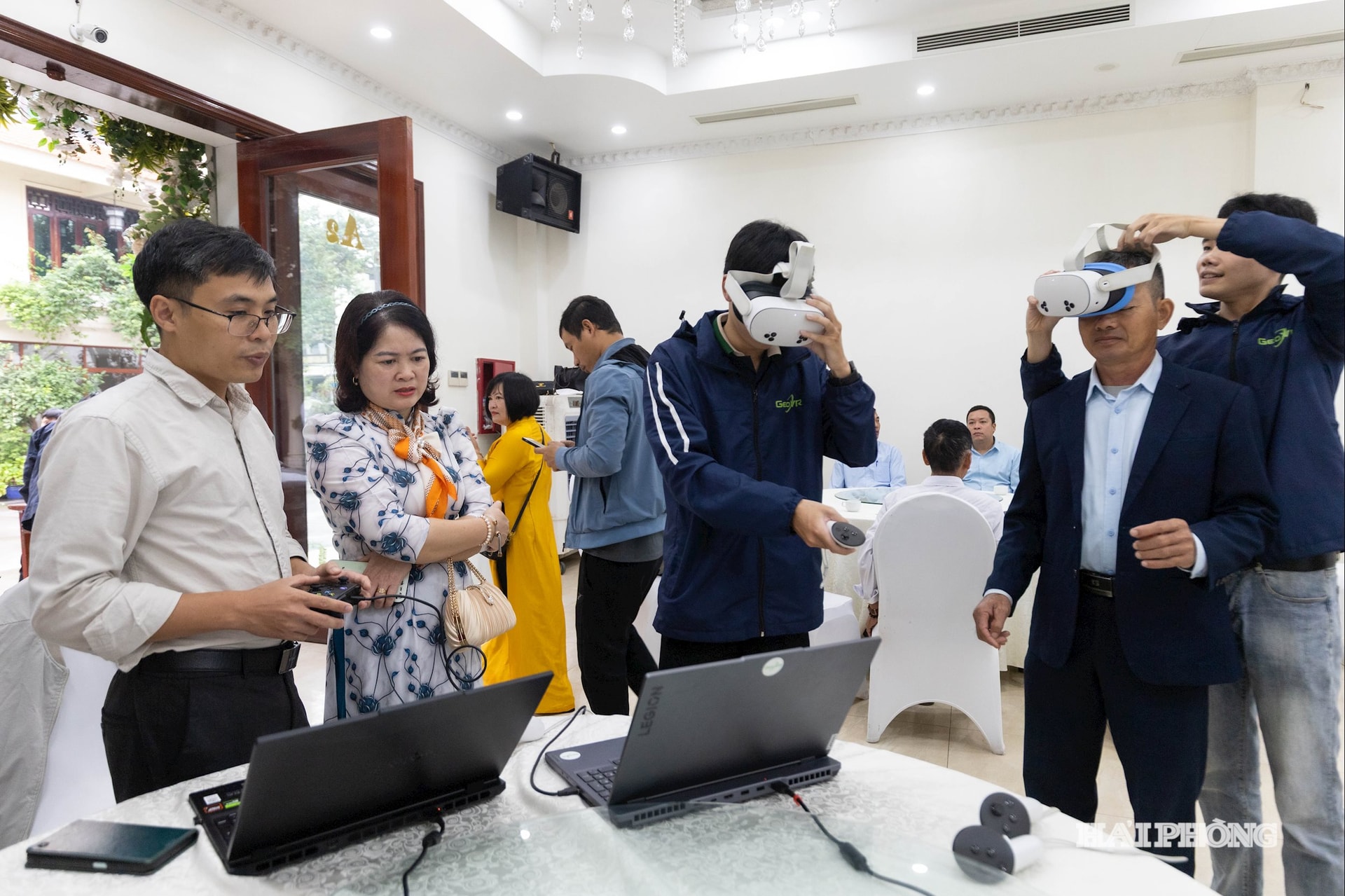
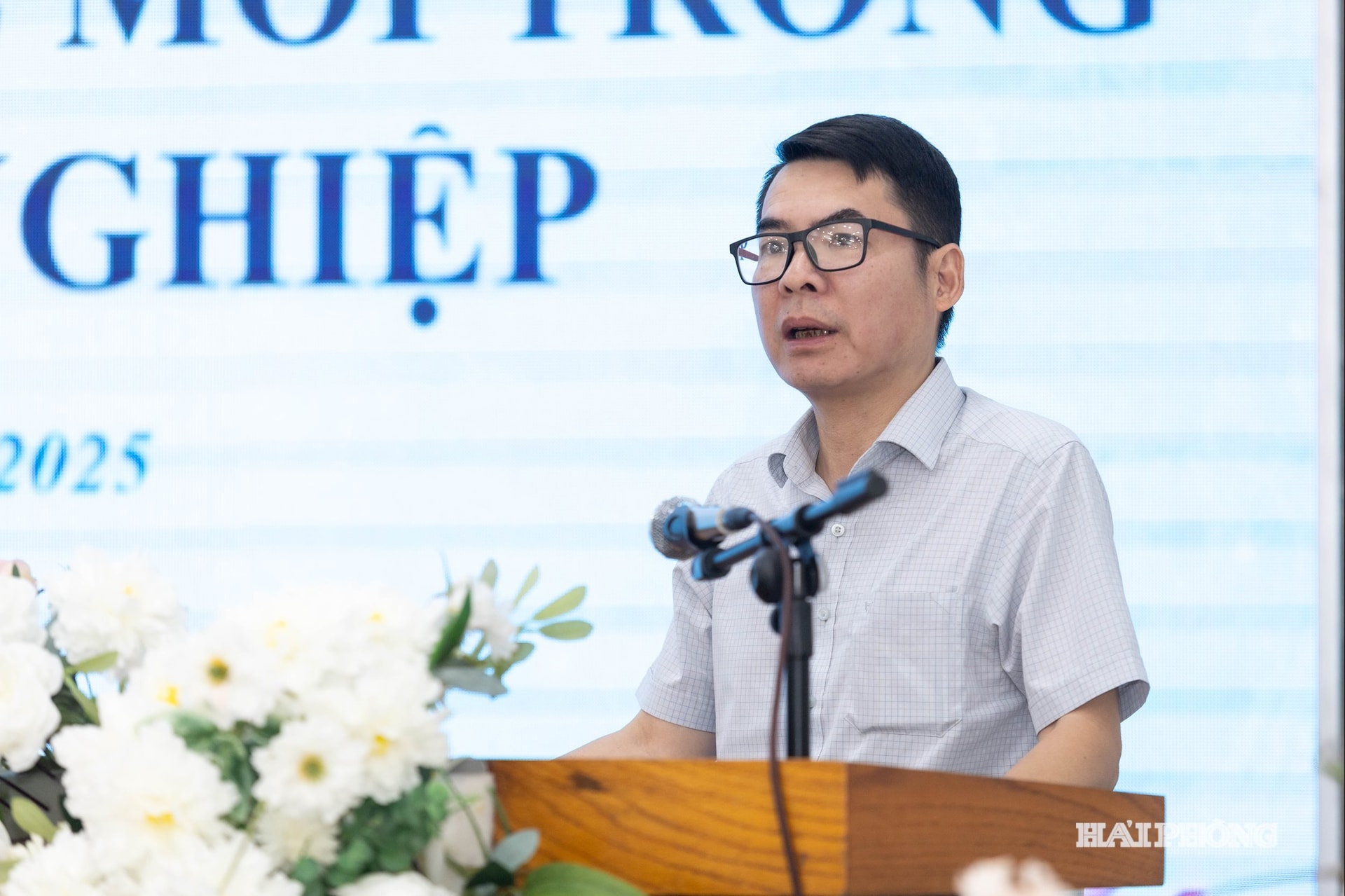
The Hai Phong Department of Science and Technology held a conference on October 30 to showcase two new technologies in agricultural production.
The department’s Center for Innovation and Science and Technology Application, in collaboration with the Military Technical Academy, presented virtual reality (VR) technology in farming and a geographic information system (GIS) in aquaculture.
The VR technology allows farmers to simulate the entire farming process, from seed selection and care to harvesting, in a virtual environment.
The VR application not only supports training and technical guidance but also helps evaluate the effectiveness of production models before actual implementation.
Meanwhile, the GIS integrates spatial data and management information, enabling environmental monitoring, cultivation area optimization, and decision support.
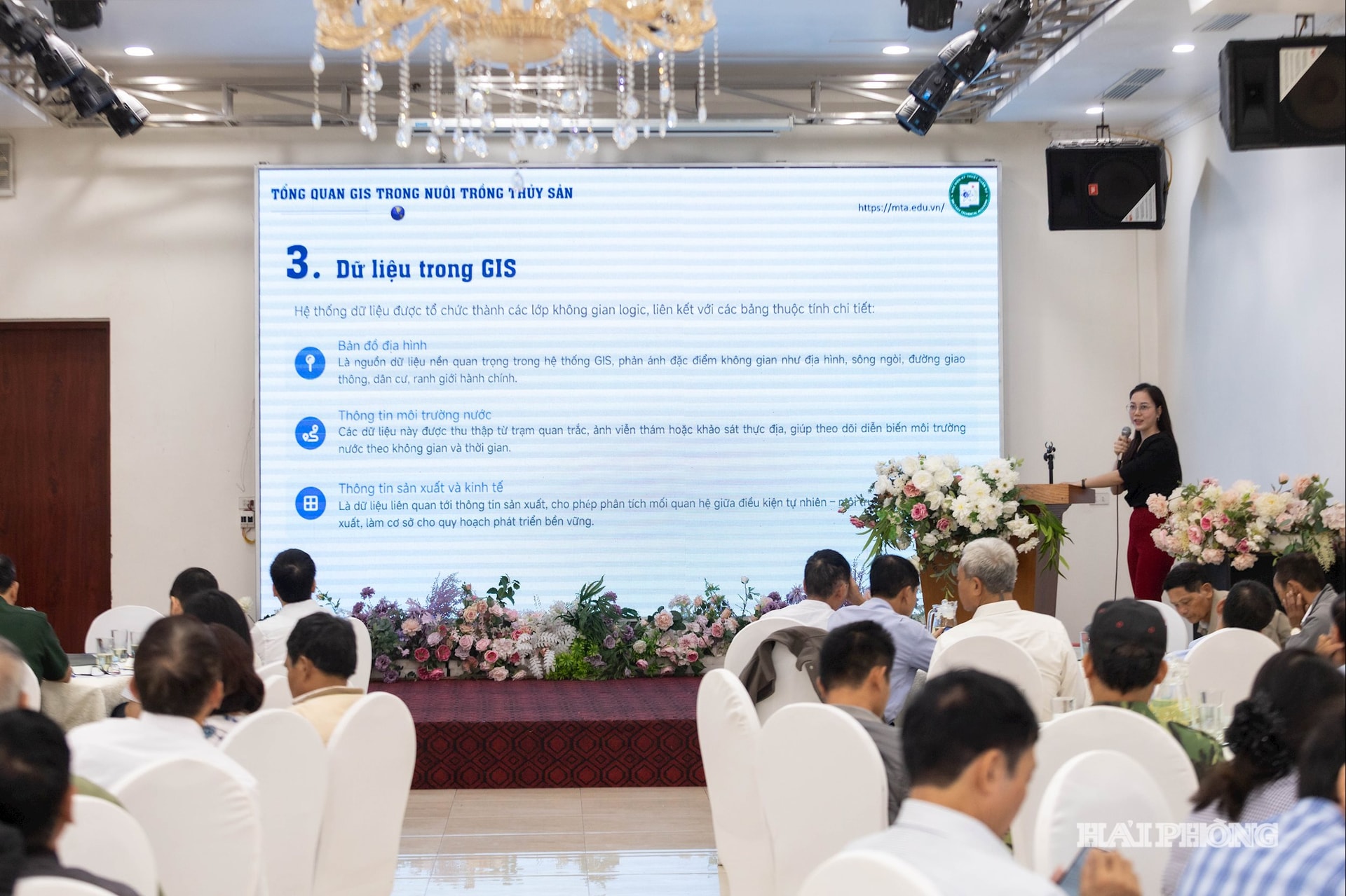
GIS plays an important role in planning and developing the modern aquaculture industry, especially in environmental management and early warning of disease risks.
A pilot GIS model was previously designed and implemented in aquaculture areas in the former Tu Ky district, initially yielding positive results in data digitization, environmental monitoring, and production management.
These applications are expected to help promote digital transformation and the development of smart, sustainable agriculture in the city.
KIM GIANG