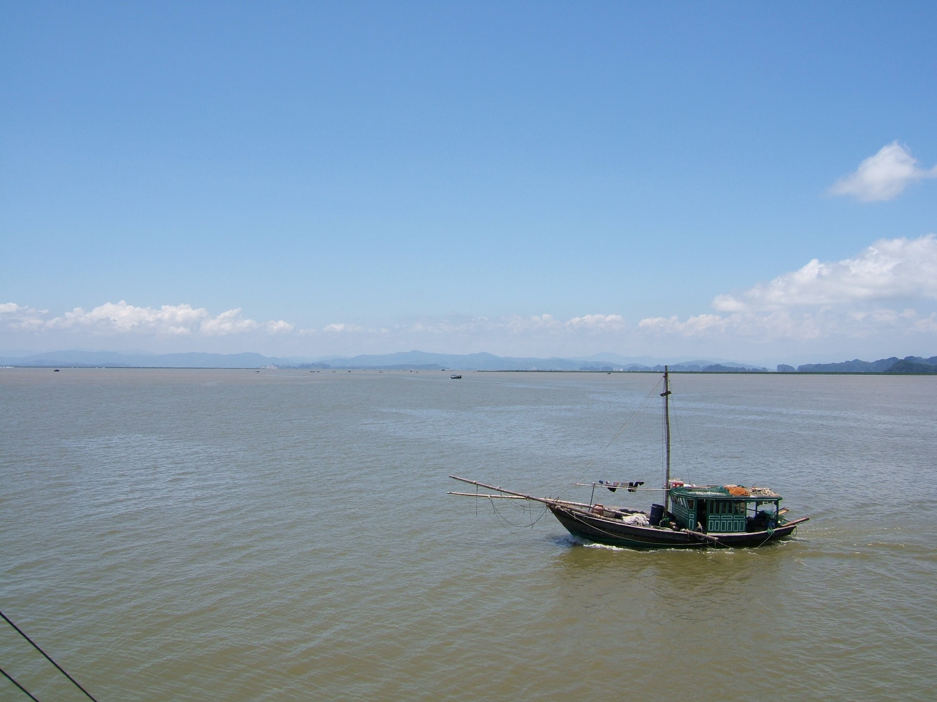
High tide warning as sea levels rise in Hai Phong
High tides and elevated water levels may cause flooding in low-lying coastal and estuarine areas of Hai Phong.
The water level at Hon Dau station reached 368 cm on October 13 morning and was continuing to rise, according to the Hai Phong Hydrometeorological Station.
Forecasts indicate that due to the influence of high tides, on the morning of October 14, the highest water levels in Hai Phong’s coastal areas will range between 375 and 388 cm. Specifically, the high tide level is predicted to reach about 388 cm in Hon Dau area and 375 cm in Bach Long Vi.
Such high water levels may cause flooding in low-lying coastal areas and river estuaries, including Bach Dang, Lach Tray, Cam, Moi, and Thai Binh rivers. The maximum inundation depth in low-lying coastal estuarine areas is estimated at 0.5 – 0.7 m.
A further warning has been issued for the next 24 – 48 hours as Hai Phong’s coastal region will remain affected by high tides. On the morning of October 15, maximum water levels are forecast to range between 365 and 375 cm. The disaster risk level is rated at level 1.
Residents in low-lying areas near rivers are advised to take precautions against flooding that may affect rice fields, crops, aquaculture areas, transportation, and certain activities at coastal tourist sites.
Hai Phong News